
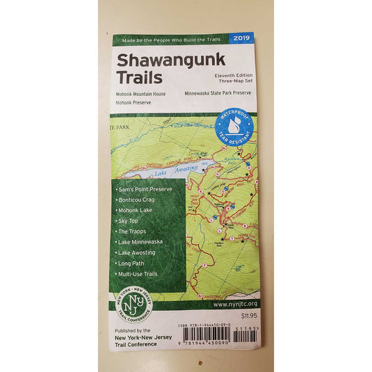
The revised, digitally-produced three-map set by the New York-New Jersey Trail Conference Shawangunk Trails Map is printed in vibrant color on waterproof and tear-resistant Tyvek, and is a must-have for outdoor enthusiasts interested in the many outdoor recreational opportunities in the Shawangunks region.
- More than 200 miles of maintained trails and carriage roads, many of which are open to bikes and horses, in the northern Shawangunks of Ulster County
- Parklands including Minnewaska State Park Preserve, Mohonk Preserve, Shawangunk Ridge State Forest, and the Mohonk Mountain House property
- Sections of the Long Path and Shawangunk Ridge Trail
- 20-foot elevation contours
- 1:30,000 scale (1 inch = 0.47 mile)
- Convenient map sizes to carry and use on the trail
- New map featuring the route of the Long Path/Shawangunk Ridge Trail between Wurtsboro and Route 52
- Enlarged large-scale map of complex trail network in the area of Mohonk Mountain House
- Parkland boundaries
- Unmaintained trails and woods roads
- Viewpoints, waterfalls, mines, and other points of interest
- Parking areas
- Public transportation
- Park contact information, history, and regulations
- UTM coordinate grid
- 10th edition 2016
Built on more than 80 years of mapping experience, New York-New Jersey Trail Conference maps are your source for reliable trail information in the New York-New Jersey metropolitan region. These maps are Made By the People Who Build the Trails and are regularly updated with changes to the trails.
Customer Reviews