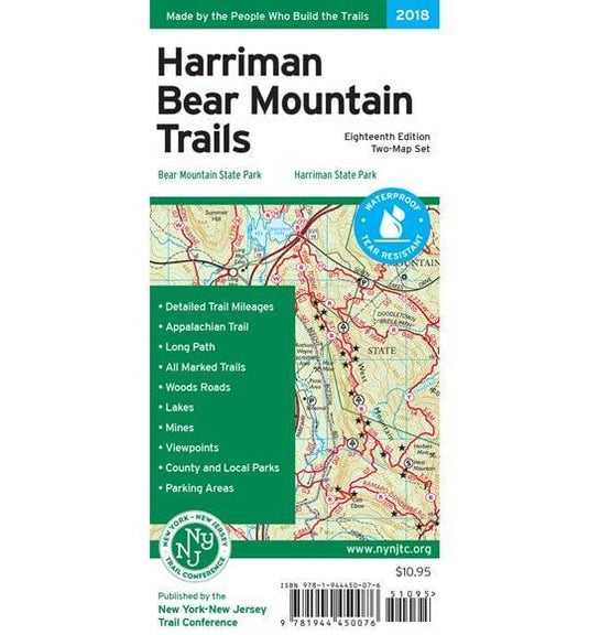
Printed in vibrant color on waterproof and tear-resistant Tyvek, the revised NY/NJ Trail Conference Map-Harriman Bear Mountain Trails Map is a digitally-produced two-map set that is a must-have for...
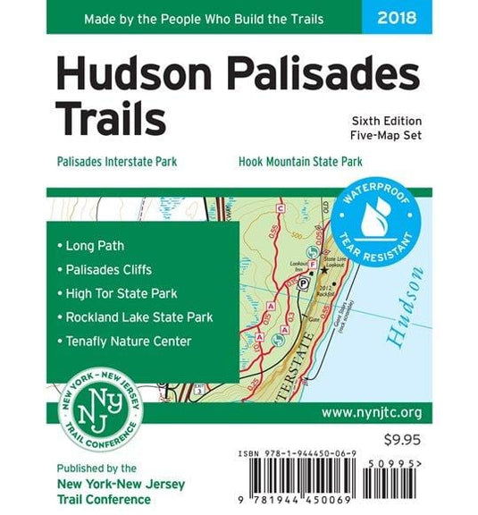
Printed in vibrant color on waterproof and tear-resistant Tyvek, the revised New York-New Jersey Trail Conference Hudson Palisades Map is a digitally-produced five-map set and is a must-have for ou...
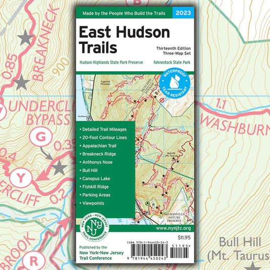
Our East Hudson Trails map is a three-map set featuring trails in the New York Highlands east of the Hudson River. The maps are printed in vibrant color on waterproof and tear-resistant Tyvek, and...
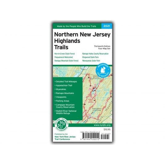
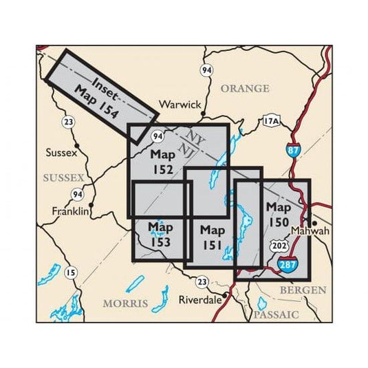
Our totally revised Northern New Jersey Highlands Trails Map (formerly titled North Jersey Trails) is a four-map set featuring more than 360 miles of marked trails and more than 40 parks and preser...
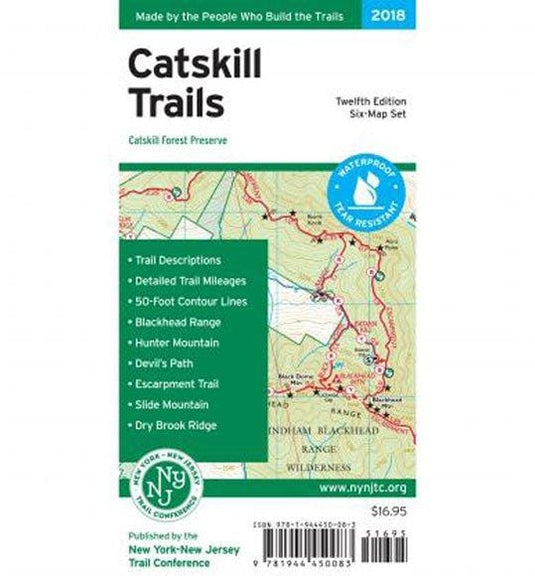
The 2018 edition New York New Jersey Trail Conference Map-Catskill Trails feature several trail updates and additions, including new trails near Kaaterskill Falls, Overlook Mountain, Platte Clove P...
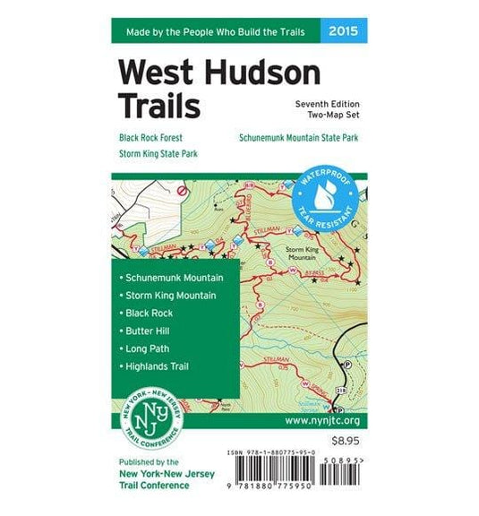
The West Hudson Trails Two-Map Set printed by the New York-New Jersey Trail Conferenc is in vibrant color on waterproof and tear-resistant Tyvek material. This revised, digitally-produced set is a ...
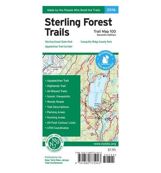
Printed in vibrant color on waterproof and tear-resistant Tyvek, the revised, digitally-produced New York-New Trail Conference Sterling Forest Trails Map is a must-have for enjoying and exploring t...
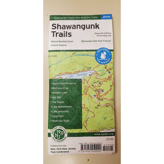
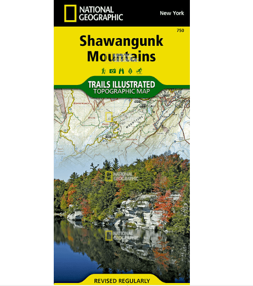
The revised, digitally-produced three-map set by the New York-New Jersey Trail Conference Shawangunk Trails Map is printed in vibrant color on waterproof and tear-resistant Tyvek, and is a must-hav...
• Waterproof • Tear-Resistant • Topographic Map
National Geographic's Trails Illustrated map of Acadia National Park is designed to meet the needs of all visitors who wish to explore the islands an...
• Waterproof • Tear-Resistant • Topographic Map
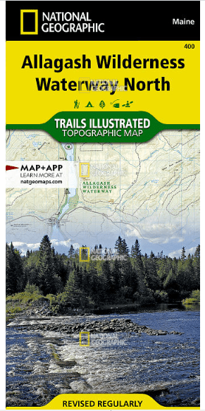
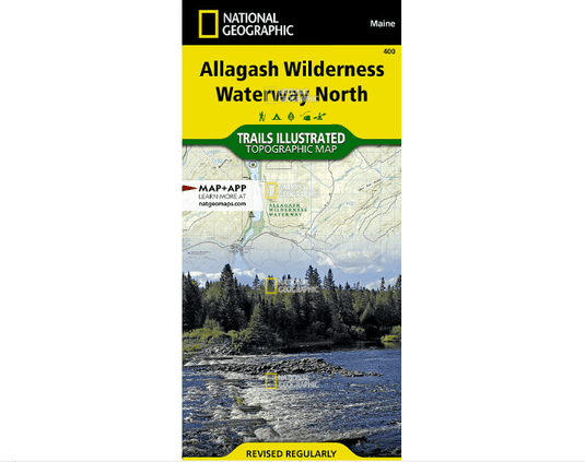
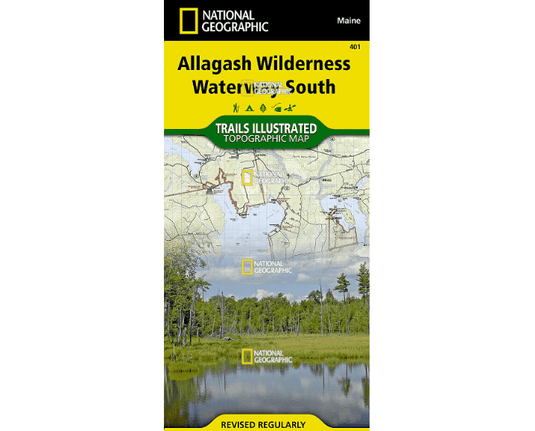
The Allagash Wilderness Waterway is a majestic 92-mile-long ribbon of rivers, lakes, ponds, and streams that winds its way through the heart of the N...
• Waterproof • Tear-Resistant • Topographic Map
Expertly researched and created in partnership with local land management agencies, National Geographic's Trails Illustrated map of Allagash Wilderne...
• Waterproof • Tear-Resistant • Topographic Map
National Geographic's Trails Illustrated map of White Mountain National Forest East provides unparalleled detail for outdoor enthusiasts seeking to e...
• Waterproof • Tear-Resistant • Topographic Map
The Mount Carlo to Pleasant Pond Topographic Map Guide makes a perfect traveling companion when traversing the southern Maine section of the Appalach...
• Waterproof • Tear-Resistant • Topographic Map
The Pleasant Pond to Katahdin Topographic Map Guide makes a perfect traveling companion when traversing the northern Maine section of the Appalachian...
• Waterproof • Tear-Resistant • Topographic Map
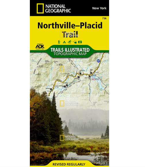
National Geographic's Trails Illustrated map of the Adirondack Park, Northville-Placid Trail combines unmatched detail with helpful information to of...
• Waterproof • Tear-Resistant • Topographic Map
National Geographic's Trails Illustrated map of Allegheny North delivers unmatched detail and valuable information to assist you in your exploration ...
• Waterproof • Tear-Resistant • Topographic Map
The largest park in the contiguous United States, Adirondack Park is a diverse mountain landscape of protected boreal forests and pristine waterways ...
• Waterproof • Tear-Resistant • Topographic Map
National Geographic's Trails Illustrated map of Adirondack Park, Lake George / Great Sacandaga combines unmatched detail with helpful information to ...
• Waterproof • Tear-Resistant • Topographic Map
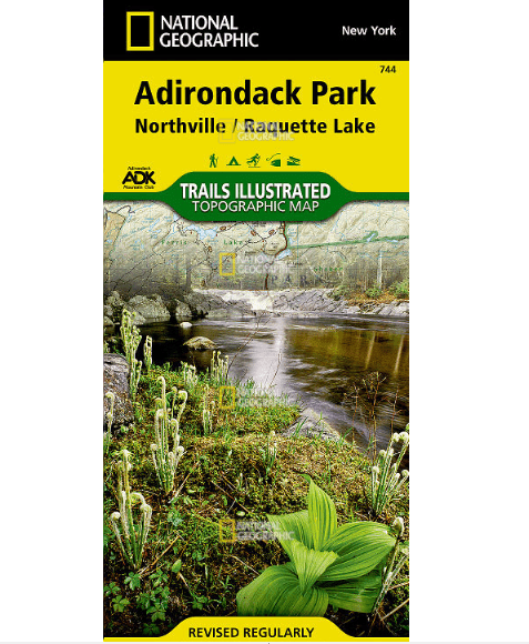
National Geographic's Trails Illustrated map of Adirondack Park, Northville / Raquette Lake is designed to meet the needs of outdoor enthusiasts by c...
• Waterproof • Tear-Resistant • Topographic Map
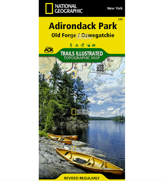
National Geographic's Trails Illustrated map of the Old Forge and Oswegatchie region of Adirondack Park is designed to meet the needs of outdoor enth...
• Waterproof • Tear-Resistant • Topographic Map
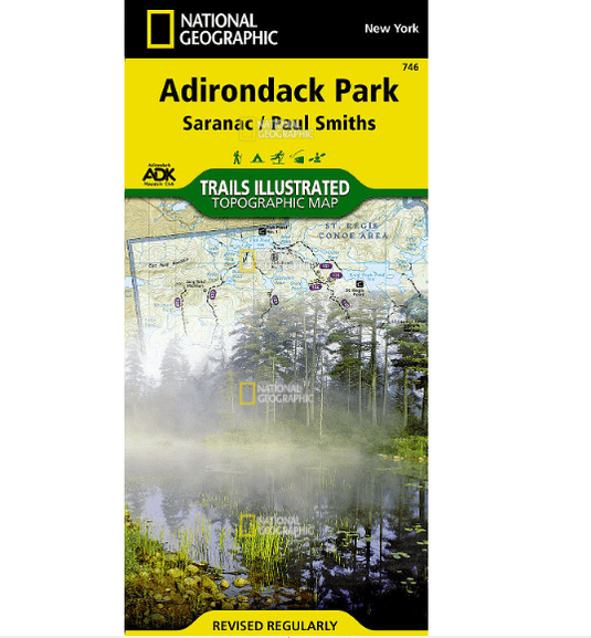
Explore the beauty and serenity of the Saranac Lakes region of the Adirondacks with National Geographic's Trails Illustrated map of Adirondack Park, ...
• Waterproof • Tear-Resistant • Topographic Map
Created in cooperation with local and national land management agencies and preservation organizations, National Geographic's Trails Illustrated map ...
• Waterproof • Tear-Resistant • Topographic Map
Explore the forests, valleys, and winding rivers of northwestern Pennsylvania with National Geographic's Trails Illustrated map of Allegheny South. E...
• Waterproof • Tear-Resistant • Topographic Map
National Geographic's Trails Illustrated map of White Mountain National Forest West provides unparalleled detail for outdoor enthusiasts seeking to e...
• Waterproof • Tear-Resistant • Topographic Map
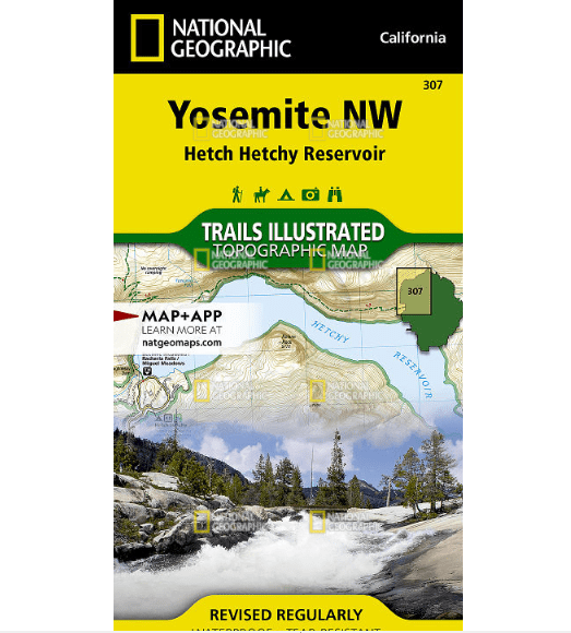
National Geographic's Trails Illustrated map of Yosemite NW: Hetch Hetchy Reservoir is designed to meet the needs of outdoor enthusiasts by combining...
• Waterproof • Tear-Resistant • Topographic Map
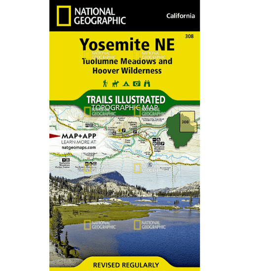
National Geographic's Trails Illustrated map of Yosemite NE: Tuolumne Meadows and Hoover Wilderness is designed to meet the needs of outdoor enthusia...
• Waterproof • Tear-Resistant • Topographic Map
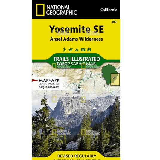
National Geographic's Trails Illustrated map of Yosemite SE delivers unmatched detail and valuable information to assist you in your exploration of t...
• Waterproof • Tear-Resistant • Topographic Map
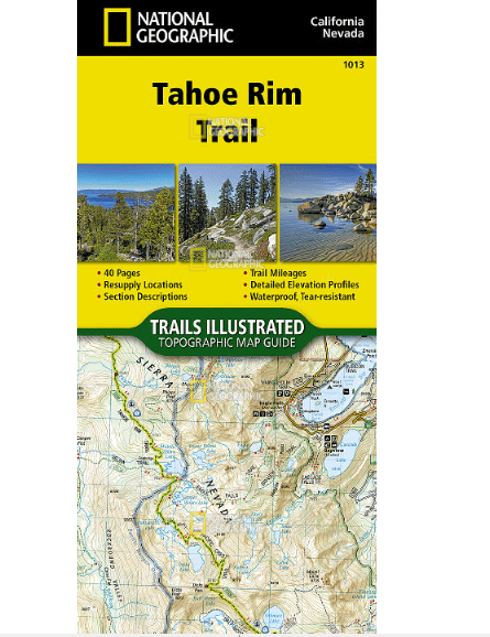
Conceived in 1978 and completed in 2001, the 175-mile Tahoe Rim Trail (TRT) circumnavigates the beautiful Lake Tahoe Basin and traverses some of the ...
• Waterproof • Tear-Resistant • Topographic Map
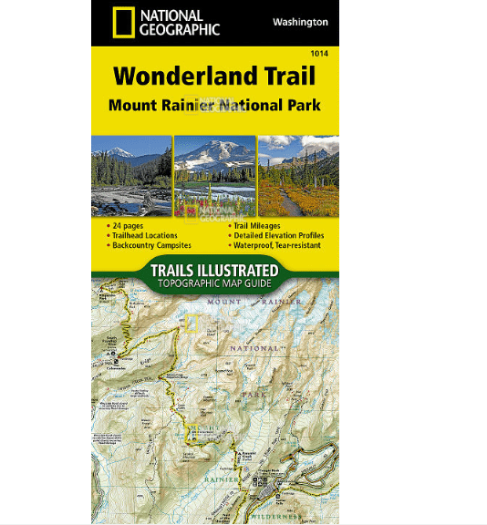
The Wonderland Trail encircles Mount Rainier and was completed in 1915 by volunteers and designated a National Recreation Trail in 1981. The Wonderla...
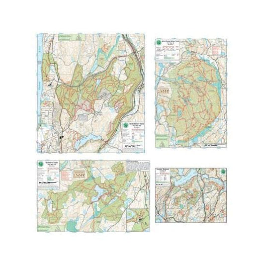
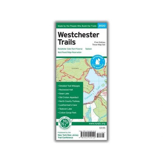
Our Westchester Trails Map is a three-map set featuring trails in three popular areas of Westchester County, New York.
Westchester Trails Map - 2020 - 1st edition
Three-map set, map #s 130, 131 &am...
Canoe and kayak map covering The Saranac Lakes, St. Regis Wilderness Area, Santa Clara Tract, Five Ponds Wilderness, Whitney Wilderness, Raquette River, and Cranberry Lake Wild Forest. Waterproof, ...
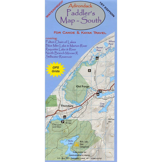
he Adirondack Paddler’s Map – South is a 1st edition waterproof map covering the Fulton Chain of Lakes, Blue Mtn. Lake & Marion river, Raquette Lake & River, North Branch Moose River and St...


![National Geographic Trails Illustrated White Mountain National Forest East [Presidential Range, Gorham]](http://www.campmor.com/cdn/shop/products/Fa7fqhISozWy6CT9UEMg_Capture_535x.png?v=1747243532)
![National Geographic Trails Illustrated White Mountain National Forest East [Presidential Range, Gorham]](http://www.campmor.com/cdn/shop/products/Fa7fqhISozWy6CT9UEMg_Capture_250x250@2x.png?v=1747243532)
![National Geographic Trails Illustrated Appalachian Trail, Mount Carlo to Pleasant Pond [Maine]](http://www.campmor.com/cdn/shop/products/qbibbXw0SOuNj5Y8ZUhh_1_535x.png?v=1747243530)
![National Geographic Trails Illustrated Appalachian Trail, Mount Carlo to Pleasant Pond [Maine]](http://www.campmor.com/cdn/shop/products/qbibbXw0SOuNj5Y8ZUhh_1_250x250@2x.png?v=1747243530)
![National Geographic Trails Illustrated Appalachian Trail, Pleasant Pond to Katahdin [Maine]](http://www.campmor.com/cdn/shop/products/B8aepwjhTCuZBTJ8XCPd_2_ec9b16fc-ac26-42c1-806b-946e3b4c4164_535x.png?v=1747243529)
![National Geographic Trails Illustrated Appalachian Trail, Pleasant Pond to Katahdin [Maine]](http://www.campmor.com/cdn/shop/products/B8aepwjhTCuZBTJ8XCPd_2_535x.png?v=1747243529)
![National Geographic Trails Illustrated Appalachian Trail, Pleasant Pond to Katahdin [Maine]](http://www.campmor.com/cdn/shop/products/B8aepwjhTCuZBTJ8XCPd_2_ec9b16fc-ac26-42c1-806b-946e3b4c4164_250x250@2x.png?v=1747243529)


![National Geographic Trails Illustrated Allegheny North [Allegheny National Forest]](http://www.campmor.com/cdn/shop/products/QdqRxJFqTWOpkRYBOVJS_4_ca3847eb-6b6f-4154-9534-b41c1081d3a5_535x.png?v=1747243526)
![National Geographic Trails Illustrated Allegheny North [Allegheny National Forest]](http://www.campmor.com/cdn/shop/products/QdqRxJFqTWOpkRYBOVJS_4_535x.png?v=1747243526)
![National Geographic Trails Illustrated Allegheny North [Allegheny National Forest]](http://www.campmor.com/cdn/shop/products/QdqRxJFqTWOpkRYBOVJS_4_ca3847eb-6b6f-4154-9534-b41c1081d3a5_250x250@2x.png?v=1747243526)


![National Geographic Trails Illustrated Allegheny South [Allegheny National Forest]](http://www.campmor.com/cdn/shop/products/868t8V5QQlOZIkNTzNiQ_14_0f88b305-1029-415e-91a5-39b48d59b8d2_535x.png?v=1747243516)
![National Geographic Trails Illustrated Allegheny South [Allegheny National Forest]](http://www.campmor.com/cdn/shop/products/868t8V5QQlOZIkNTzNiQ_14_535x.png?v=1747243516)
![National Geographic Trails Illustrated Allegheny South [Allegheny National Forest]](http://www.campmor.com/cdn/shop/products/868t8V5QQlOZIkNTzNiQ_14_0f88b305-1029-415e-91a5-39b48d59b8d2_250x250@2x.png?v=1747243516)
![National Geographic Trails Illustrated White Mountain National Forest West [Franconia Notch, Lincoln]](http://www.campmor.com/cdn/shop/products/H0XZRuSwQ4WPLyZEDSBL_15_ba0ab5ad-fd7a-43d3-baf5-6f725a7981e5_535x.png?v=1747243515)
![National Geographic Trails Illustrated White Mountain National Forest West [Franconia Notch, Lincoln]](http://www.campmor.com/cdn/shop/products/H0XZRuSwQ4WPLyZEDSBL_15_535x.png?v=1747243515)
![National Geographic Trails Illustrated White Mountain National Forest West [Franconia Notch, Lincoln]](http://www.campmor.com/cdn/shop/products/H0XZRuSwQ4WPLyZEDSBL_15_ba0ab5ad-fd7a-43d3-baf5-6f725a7981e5_250x250@2x.png?v=1747243515)