
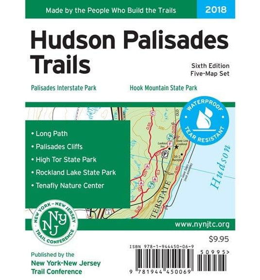
Printed in vibrant color on waterproof and tear-resistant Tyvek, the revised New York-New Jersey Trail Conference Hudson Palisades Map is a digitally-produced five-map set and is a must-have for outdoor enthusiasts interested in exploring the trails and open space in the Palisades region of New York and New Jersey.
- Junction-to-junction trail mileage numbers on the map front
- 100 miles of marked trails and bike paths along the western side of the Hudson River from Fort Lee, NJ northward through Bergen and Rockland counties to Haverstraw, NY
- Parklands including Palisades Interstate Park, Blauvelt State Park, High Tor State Park, Rockland Lake State Park, Tallman Mountain State Park, Buttermilk Falls Park, Clausland Mountain Park, Flat Rock Brook Nature Center, Gurnee Park, Mountainview Nature Park, Rockleigh Woods Sanctuary/Lamont Reserve, South Mountain Park, and Tenafly Nature Center/Lost Brook Preserve
- Approximately 40 miles of the Long Path from its southern terminus at Fort Lee Historic Park
- 20-foot elevation contours
- 1:18,000 scale (3.52 inches = 1 mile)
- Convenient map sizes to carry and use on the trail
- Parkland boundaries
- Unmaintained trails and woods roads
- Viewpoints, waterfalls, mines, and other points of interest
- Parking areas
- Public transportation
- Park contact information, history, and regulations
- UTM coordinate grid
Customer Reviews