
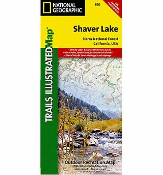
Trails Illustrated folded topo map - Outdoor Recreation map shows hiking trails and recreational features, printed on waterproof, tear-resistant plastic material. Coverage includes Sierra National Forest, Kaiser Wilderness, Dinkey Lakes Wilderness, portions of the John Muir and Monarch Wilderness, Mariposa Grove of Giant Sequoias within Yosemite NP, Nelder Grove Historic Park, Millerton Lake State Recreation Area, Redinger Lake, Bass Lake, Huntington Lake, Coutright Reservoir, Wishon Reservoir, and Shaver Lake.
Like all Trails Illustrated maps, Shaver Lake / Sierra National Forest was developed in collaboration with local agencies and experts, in this case the Three Forests Interpretive Association which supports Sierra, Stanislaus, and Sequoia National Forests.
This region contains some of the most visited backcountry in the United States, popular with hikers, mountain bikers, anglers, hunters, and winter sports enthusiasts.
- 50 foot contour intervals
- Scale = 1:63,360
- Printed on waterproof tearproof tyvek sheets
- 2 sided map
- Printed in multi colors for your map reading comfort and enjoyment
- Completely indexed
- Historical notes and features, trail charts and mileage
- View points
- Shelter locations
- Parking information
- Beaches
- Updated regularly
- Approximately 4 1/4" x 9 1/4" folded; 25.5" x 37.75" fully opened
- Approximately 4 1/4" x 9 1/4" folded; 25.5" x 37.75" fully opened
- 1cm = 0.6km - 1" = 1 mile
- Publisher - Trails Illustrated/National Geographic
- Year - 2008
Customer Reviews