

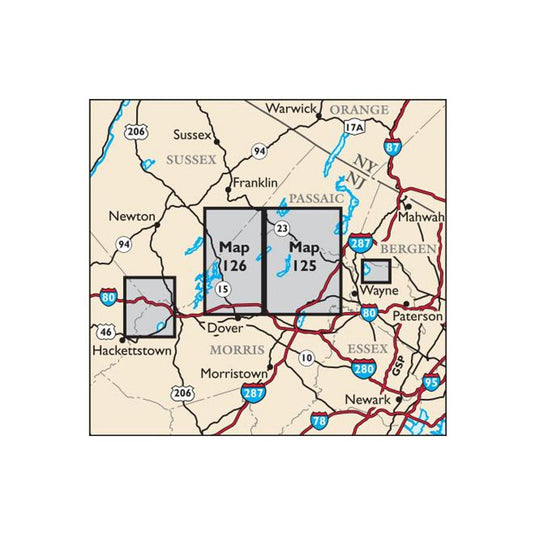

Two-map set, map #s 125 & 126 (formerly titled Jersey Highlands Trails: Central North Region)
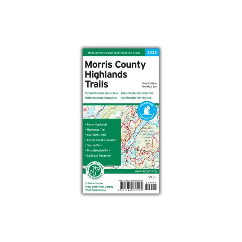
Our Morris County Highlands Trails Map (formerly titled Jersey Highlands Trails: Central North Region) is a two-map set featuring trails in the New Jersey Highlands of northern Morris County and nearby Passaic, Sussex and Warren counties. The maps are printed in vibrant color on waterproof and tear-resistant Tyvek, and are a must-have for exploring the many parks and trails throughout this region of the New Jersey Highlands. The 2023 update includes significant trail changes, including new trails and blazing changes in several parks including Pyramid Mountain, Mountainside Park, Tourne County Park, Wildcat Ridge Wildlife Management Area, Jonathan's Woods, Farny State Park, Mahlon Dickerson Reservation, High Mountain Park Preserve, and Mount Hope Historical Park.
Map features include:
- More than 230 miles of marked trails within more than 30 parks in northern Morris County and adjacent portions of Passaic, Sussex, and Warren counties
- Parklands including Pyramid Mountain, High Mountain Park Preserve, Allamuchy Mountain State Park, Mahlon Dickerson Reservation, and the Farny Highlands
- More than 45 miles of the Highlands Trail and the nearly 20-mile-long Four Birds Trail
- 20-foot elevation contours
- 1:40,000 scale (1 inch = 0.63 mile)
- Convenient map sizes to carry and use on the trail
- Parkland boundaries
- Unmaintained trails and woods roads
- Viewpoints, waterfalls, mines, and other points of interest
- Parking areas
- Public transportation
- Park contact information, history, and regulations
- UTM coordinate grid