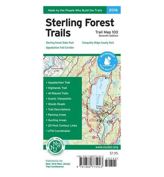
Printed in vibrant color on waterproof and tear-resistant Tyvek, the revised, digitally-produced New York-New Trail Conference Sterling Forest Trails Map is a must-have for enjoying and exploring the outdoor opportunities in Sterling Forest State Park.
- Junction-to-junction trail mileage numbers on the map front
- More than 170 miles of marked trails in Sterling Forest State Park and surrounding parklands, including Harriman State Park and northern New Jersey parklands
- Sections of the Appalachian Trail and Highlands Trail
- Detailed trail mileage numbers directly on the map front
- Recent trail additions and changes, including the new Doris Duke Trail
- 20-foot elevation contours
- 1:39,300 scale (1 inch = 0.62 mile)
- Convenient map size to carry and use on the trail
- Complete trail index and guide to trail blazing on map back
- Enlarged inset map of trails surrounding the park visitor center
- Park land boundaries
- Unmaintained trails and woods roads
- Shelters
- Fire towers, viewpoints, and other points of interest
- Parking areas
- Public transportation
- Areas where hunting is permitted
- Park contact information, history, and regulations
- UTM grid with latitude/longitude markings
- 7th edition 2016
Built on more than 80 years of mapping experience, New York-New Jersey Trail Conference maps are your source for reliable trail information in the New York-New Jersey metropolitan region. These maps are Made By the People Who Build the Trails and are regularly updated with changes to the trails.
Customer Reviews

