• Waterproof • Tear-Resistant • Topographic Map
Explore the forests, valleys, and winding rivers of northwestern Pennsylvania with National Geographic's Trails Illustrated map of Allegheny South. E...
• Waterproof • Tear-Resistant • Topographic Map
National Geographic's Trails Illustrated map of White Mountain National Forest West provides unparalleled detail for outdoor enthusiasts seeking to e...
• Waterproof • Tear-Resistant • Topographic Map
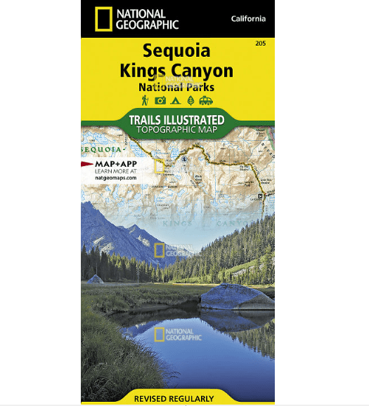
In Sequioa and Kings Canyon National Parks you can walk among the world's largest trees, hike the alpine landscape of the Sierra Crest, and marvel at...
• Waterproof • Tear-Resistant • Topographic Map
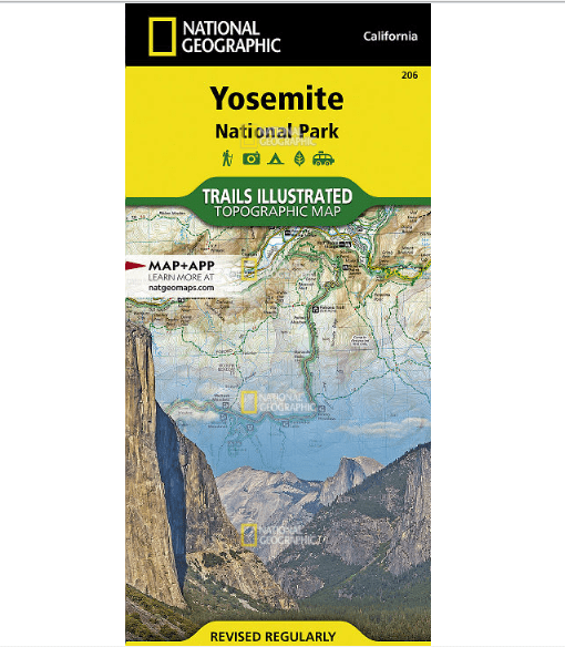
Explore the majesty of Yosemite National Park with National Geographic's Trails Illustrated map. Loaded with helpful information on camping, hiking, ...
• Waterproof • Tear-Resistant • Topographic Map
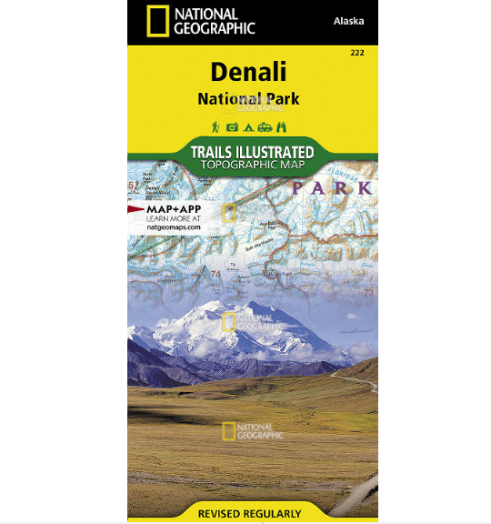
Denali National Park and Preserve covers a staggering six million acres of truly wild and pristine wilderness, bisected by a single road. The crown j...
• Waterproof • Tear-Resistant • Topographic Map
The Yosemite Valley is a popular tourist destination, hosting millions of visitors each year. The glacial valley framed by such awe-inspiring granite...
• Waterproof • Tear-Resistant • Topographic Map
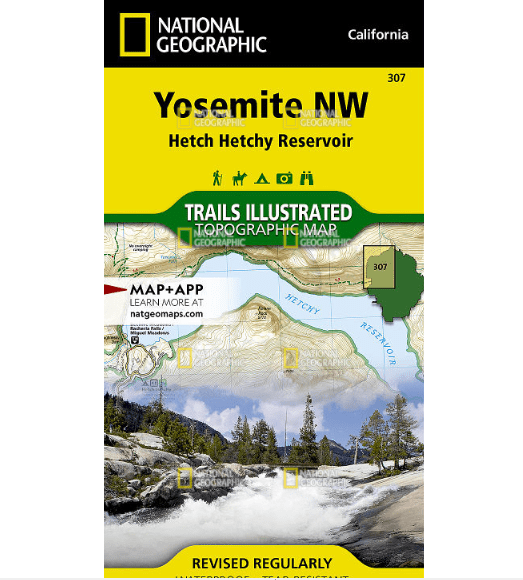
National Geographic's Trails Illustrated map of Yosemite NW: Hetch Hetchy Reservoir is designed to meet the needs of outdoor enthusiasts by combining...
• Waterproof • Tear-Resistant • Topographic Map
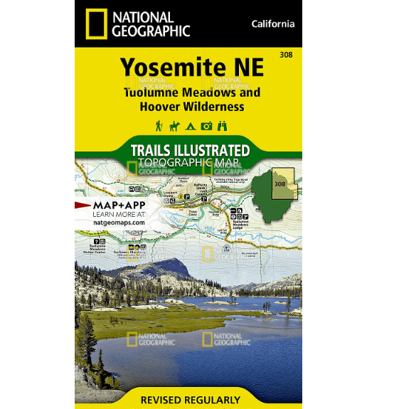
National Geographic's Trails Illustrated map of Yosemite NE: Tuolumne Meadows and Hoover Wilderness is designed to meet the needs of outdoor enthusia...
• Waterproof • Tear-Resistant • Topographic Map
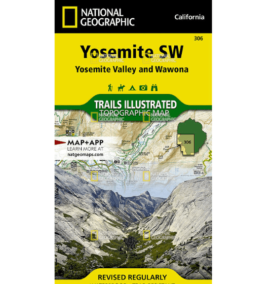
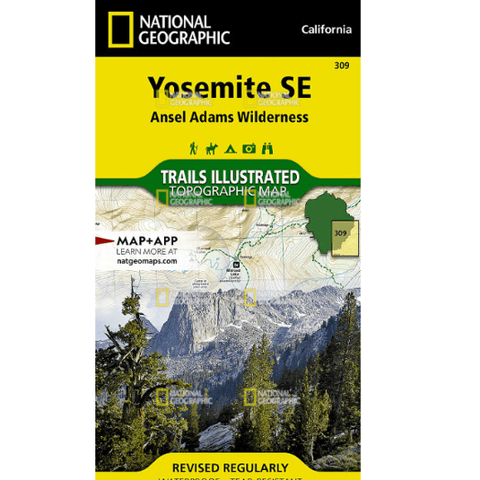
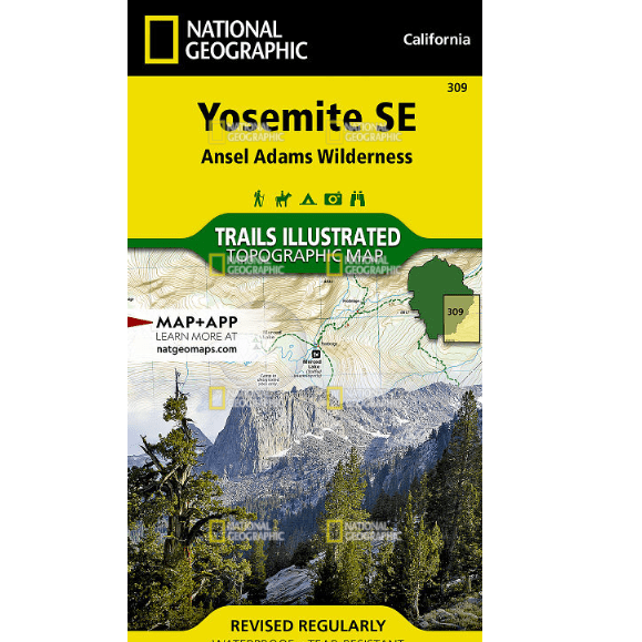
National Geographic's Trails Illustrated map of Yosemite SE delivers unmatched detail and valuable information to assist you in your exploration of t...
• Waterproof • Tear-Resistant • Topographic Map
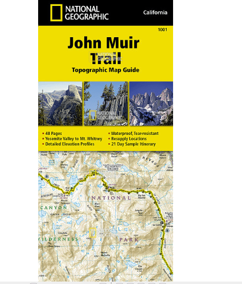
National Geographic's Map Guide of the John Muir Trail is an indispensable tool for navigating one of the most famous trails in the United States. Ex...
• Waterproof • Tear-Resistant • Topographic Map
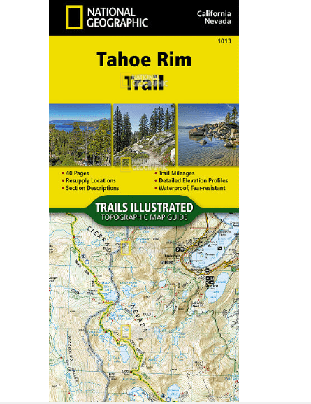
Conceived in 1978 and completed in 2001, the 175-mile Tahoe Rim Trail (TRT) circumnavigates the beautiful Lake Tahoe Basin and traverses some of the ...
• Waterproof • Tear-Resistant • Topographic Map
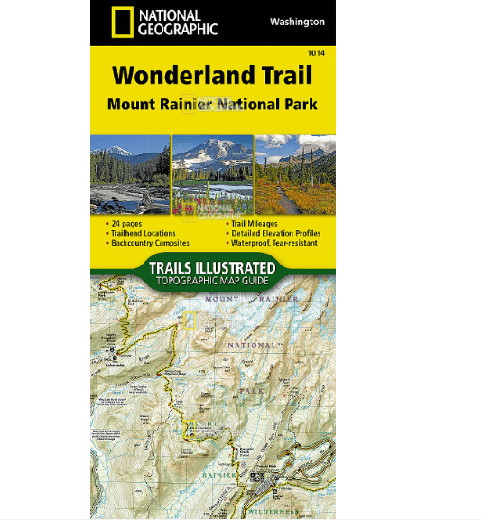
The Wonderland Trail encircles Mount Rainier and was completed in 1915 by volunteers and designated a National Recreation Trail in 1981. The Wonderla...
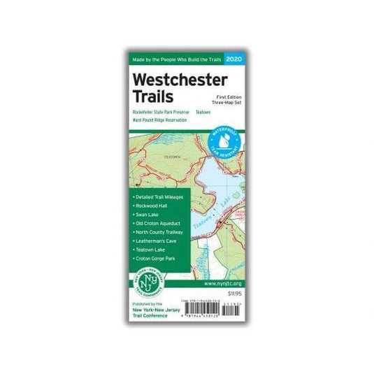
Our Westchester Trails Map is a three-map set featuring trails in three popular areas of Westchester County, New York.
Westchester Trails Map - 2020 - 1st edition
Three-map set, map #s 130, 131 &am...
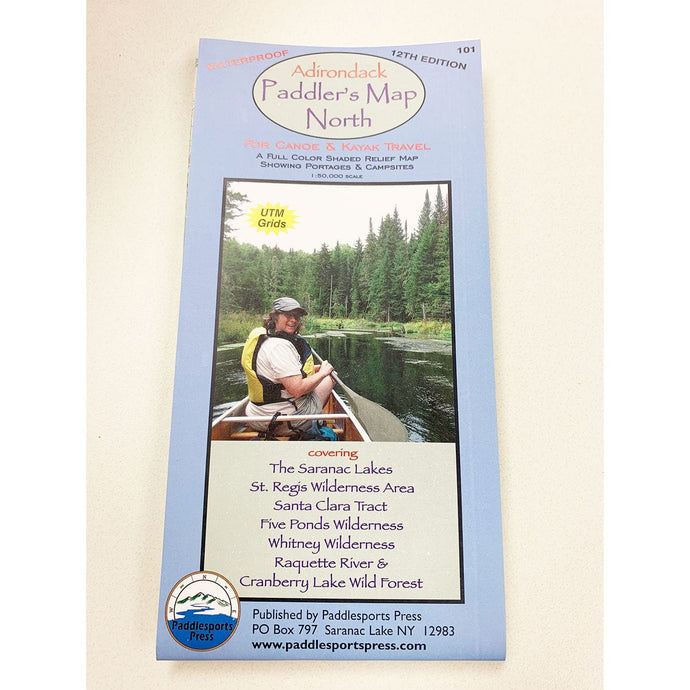
Canoe and kayak map covering The Saranac Lakes, St. Regis Wilderness Area, Santa Clara Tract, Five Ponds Wilderness, Whitney Wilderness, Raquette River, and Cranberry Lake Wild Forest. Waterproof, ...
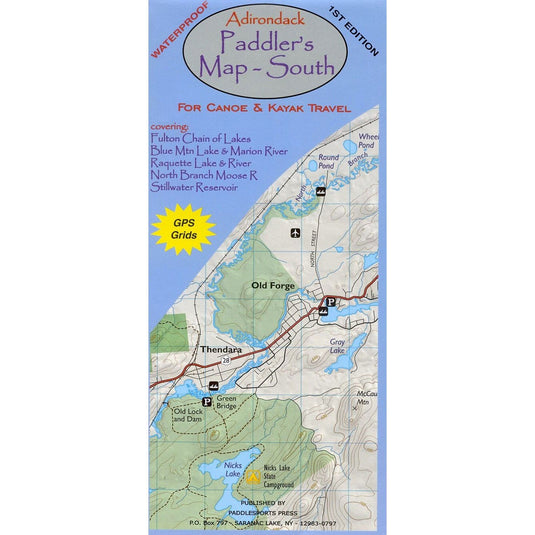
he Adirondack Paddler’s Map – South is a 1st edition waterproof map covering the Fulton Chain of Lakes, Blue Mtn. Lake & Marion river, Raquette Lake & River, North Branch Moose River and St...
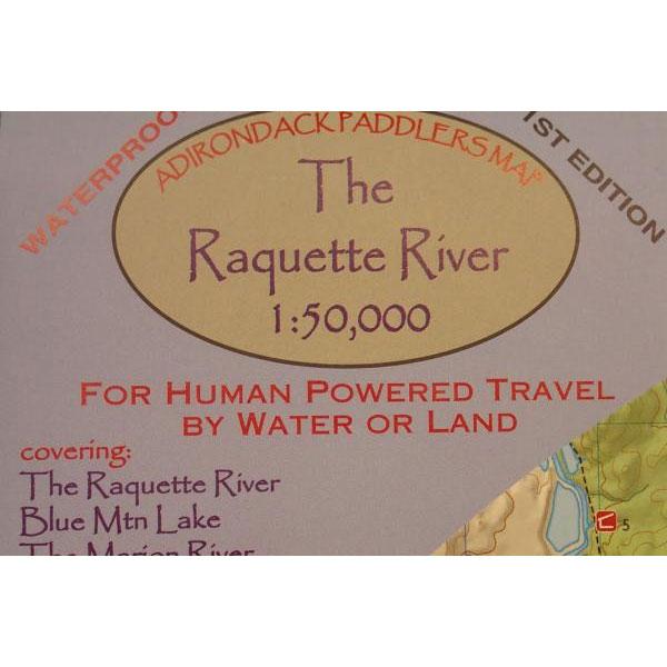
Adirondack Paddler’s Map – Raquette River
Part of the Adirondack Paddler’s Map series. Full color, shaded relief and topographic map at a 1:50,000 scale (Approx 1″ =0.8 miles). Shows private land, ...
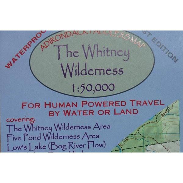
Adirondack Paddler’s Map – The Whitney Wilderness
Part of the Adirondack Paddler’s Map series. Full color, shaded relief and topographic map at a 1:50,000 scale (Approx 1″ =0.8 miles). Shows privat...
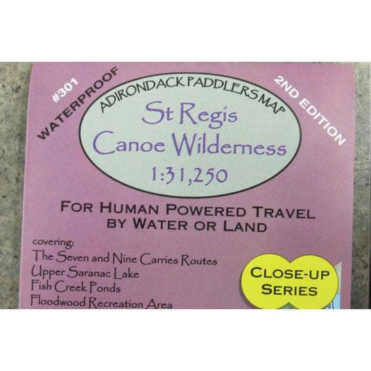
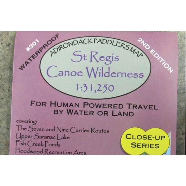
Adirondack Paddler’s Map – Close-up Series: St. Regis Canoe Wilderness, 2nd edition
Part of the Adirondack Paddler’s Map series. Full color, shaded relief and topographic map at a 1:31,250 scale (A...
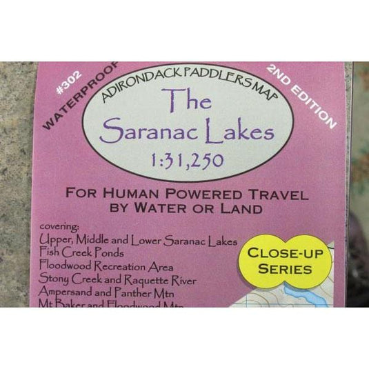
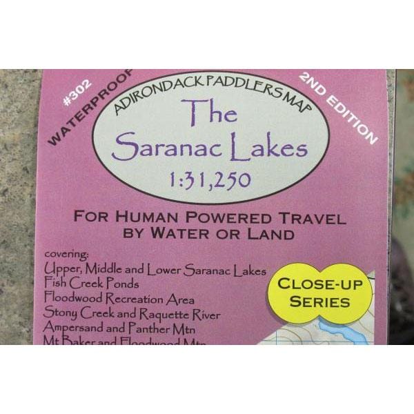
Adirondack Paddler’s Map – Close-up Series: Saranac Lakes, 2nd Edition
Part of the Adirondack Paddler’s Map series. Full color, shaded relief and topographic map at a 1:31,250 scale (Approx 1″ = 0....
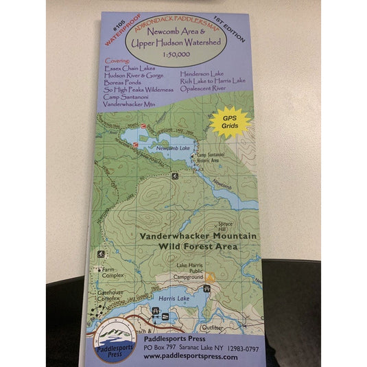
1:50,000 (1"=0.8 miles) A long awaited detail map covering the Upper Hudson River, the Essex Chain Lakes, Boreas Ponds, Henderson Lake, and the Camp Santanoni area. … [VIEW LESS]
Map is 18" x 36...
Use left/right arrows to navigate the slideshow or swipe left/right if using a mobile device
Choosing a selection results in a full page refresh.
Press the space key then arrow keys to make a selection.

![National Geographic Trails Illustrated Allegheny South [Allegheny National Forest]](http://www.campmor.com/cdn/shop/products/868t8V5QQlOZIkNTzNiQ_14_0f88b305-1029-415e-91a5-39b48d59b8d2_535x.png?v=1597255693)
![National Geographic Trails Illustrated Allegheny South [Allegheny National Forest]](http://www.campmor.com/cdn/shop/products/868t8V5QQlOZIkNTzNiQ_14_535x.png?v=1597255691)
![National Geographic Trails Illustrated Allegheny South [Allegheny National Forest]](http://www.campmor.com/cdn/shop/products/868t8V5QQlOZIkNTzNiQ_14_0f88b305-1029-415e-91a5-39b48d59b8d2_345x345@2x.png?v=1597255693)
![National Geographic Trails Illustrated White Mountain National Forest West [Franconia Notch, Lincoln]](http://www.campmor.com/cdn/shop/products/H0XZRuSwQ4WPLyZEDSBL_15_ba0ab5ad-fd7a-43d3-baf5-6f725a7981e5_535x.png?v=1597255809)
![National Geographic Trails Illustrated White Mountain National Forest West [Franconia Notch, Lincoln]](http://www.campmor.com/cdn/shop/products/H0XZRuSwQ4WPLyZEDSBL_15_535x.png?v=1597255808)
![National Geographic Trails Illustrated White Mountain National Forest West [Franconia Notch, Lincoln]](http://www.campmor.com/cdn/shop/products/H0XZRuSwQ4WPLyZEDSBL_15_ba0ab5ad-fd7a-43d3-baf5-6f725a7981e5_345x345@2x.png?v=1597255809)